Orchon Bura Hits the Adriatic: Expected Hurricane Winds of 170 km/h, Making This City a Key Focus – Latest Update
A potent cyclone originating from the southern part of Italy and the Ionian Sea has brought a significant weather system to Albania, Greece, Macedonia, southern Bulgaria, and Montenegro, bringing heavy rain and snow alongside very strong northeast winds.
Snow even reached the sandy beaches in Ulcinj.
This cyclone is also characterized by extremely windy conditions.
The storm was powerful enough to shake trees in Podgorica, and areas near Bar and Ulcinj experienced damage to power transmission lines, resulting in temporary blackouts.
Winds will remain strong today. Due to low pressure over the southern Adriatic and high pressure above the Pannonian basin, the pressure gradient will be significant. Winds will predominantly affect the Adriatic coast and the mountain slopes facing the Adriatic.
In the northern Adriatic, specifically below Velebit, the orkan bora will unleash hurricane-force gusts reaching an astonishing 170 km/h, with Senj projected to experience winds as high as 160 km/h.
In other regions, the bora will have storm-force gusts between 100 to 120 km/h, which could result in material damage. Continuous monitoring by state and responsible services, as well as adherence to their announcements and warnings, is advised.
Moreover, the Bora in Croatia will maintain a dry character.
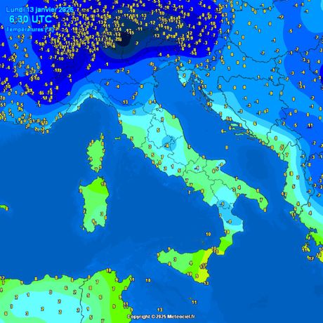
Although temperatures along the Adriatic range from 3 to 9 degrees, the blustery conditions will create a sensation of much colder temperatures.

A decrease in wind intensity is anticipated by Wednesday.
(Telegraf.rs)


